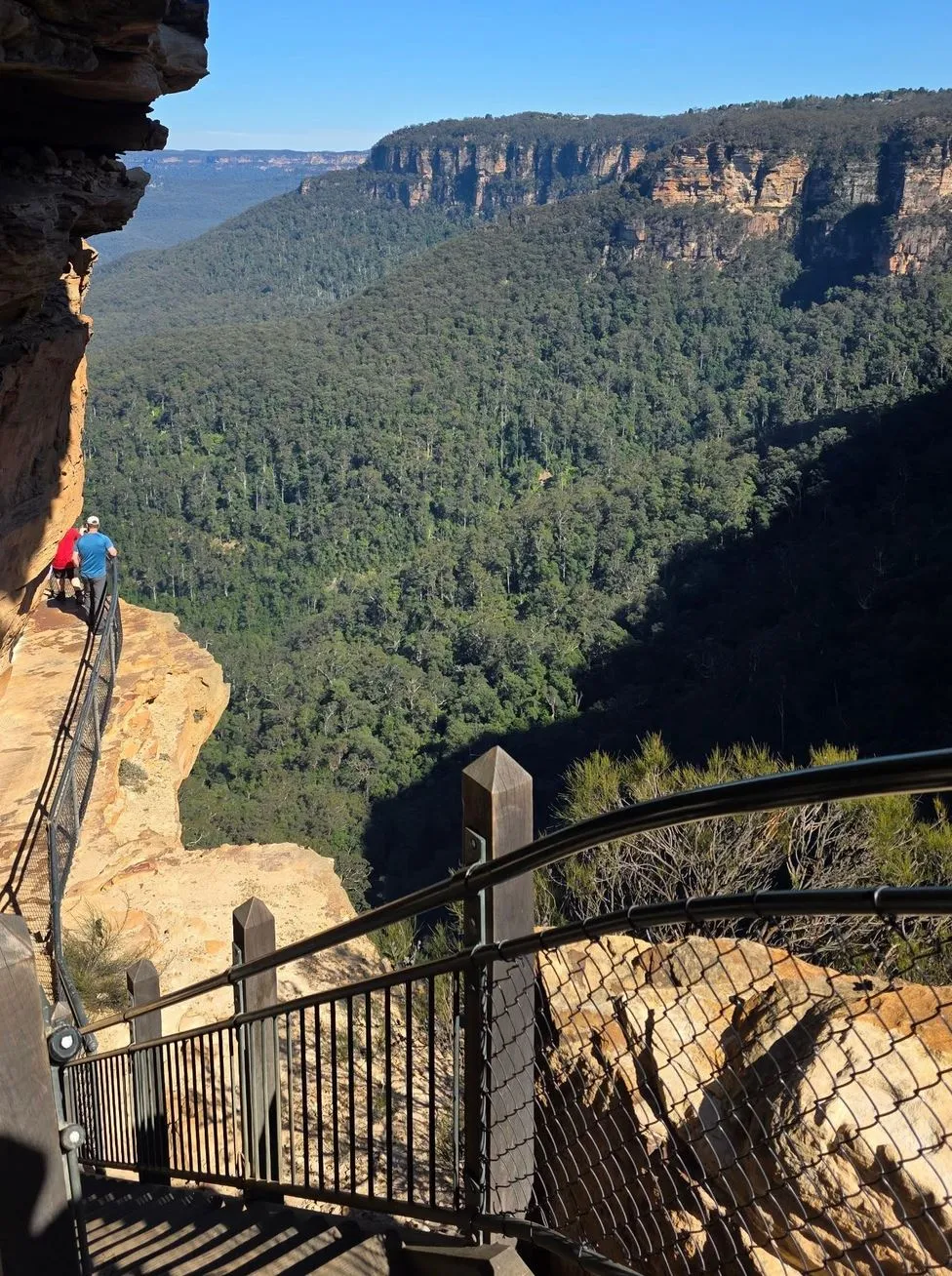
Jamison Valley is the main stage of the Blue Mountains, framed by towering sandstone cliffs and scattered with waterfalls, forest and stories that go back to the Jurassic period. I first stood at Echo Point, looking out to Mount Solitary and the valley floor and felt the mix of wilderness and history that is this place. This isn’t just a lookout tick-box — it’s a living part of Gundungurra Country, tied to Dreaming stories, colonial tracks and today’s network of bushwalking trails.
Table of Contents
How This Vast Valley Came to Be
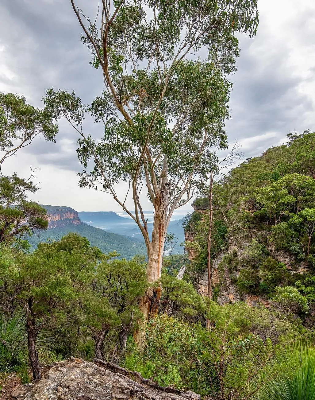
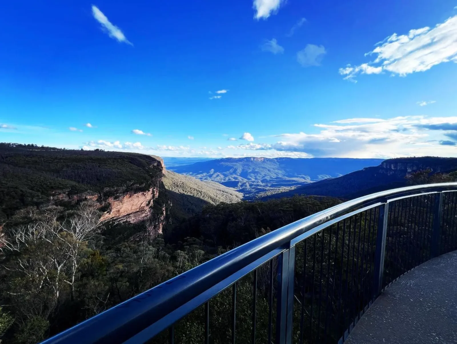
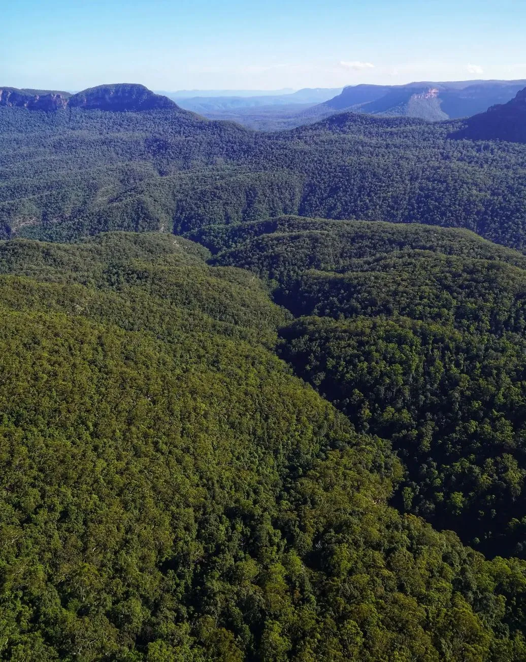
Jamison Valley is part of the Greater Blue Mountains World Heritage Area, carved from sandstone laid down approximately 250 million years ago during the Triassic period. Over millions of years, water erosion, landslides and tectonic uplift shaped the wide U-shaped valley you see today.
Unlike the V-shaped valleys you might know from alpine regions, Jamison’s wide floor is a clue to its slow, steady geological story. Sandstone cliffs — weathered, fractured and capped with ironstone — now tower above rainforest pockets. Mount Solitary sits like an island in the middle, its flat top catching the morning sun like a beacon.
The Valley’s History
The valley’s human story is as layered as its geology. The Gundungurra Aboriginals — including the Burra Burra tribe — walked these ridges and valleys for tens of thousands of years. Their stories connect places like Kedumba Valley and Mount Solitary to Dreaming Law.
European intrusion came in 1813 with Gregory Blaxland, William Charles Wentworth and Lieutenant Lawson crossing the Blue Mountains. Just a year later, Governor Lachlan Macquarie ordered Cox’s Road built, and everything changed. Later, Sir John Jamison, a wealthy landowner and doctor, gave his name to the valley. Logging, grazing and mining followed and then conservation movements and the creation of Blue Mountains National Park (NP) turned the tide.
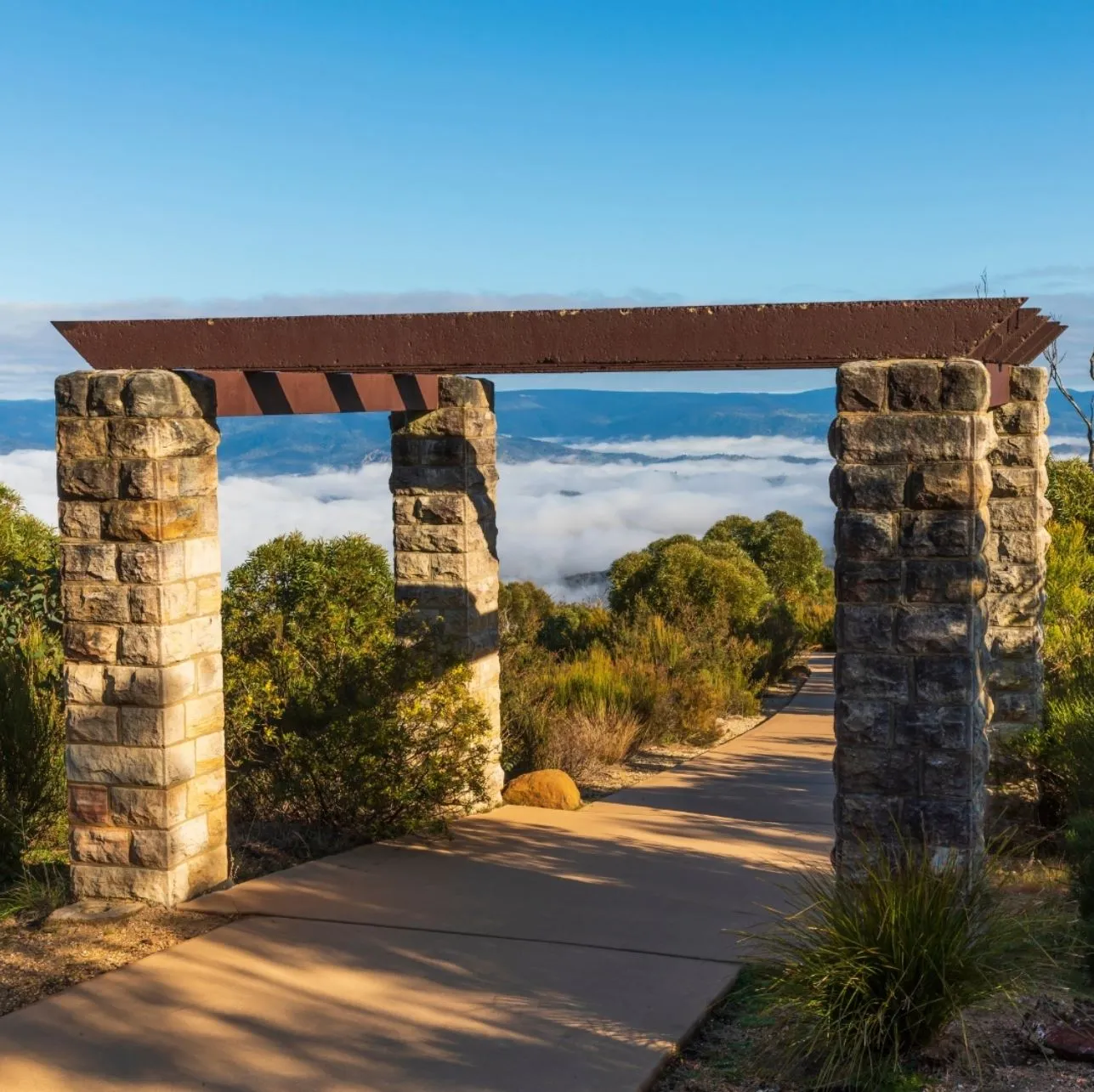
Track notes: Always check with the Blue Mountains Heritage Centre or National Parks Contact Centre before heading out. Landslides, bushfires and track closures are common.
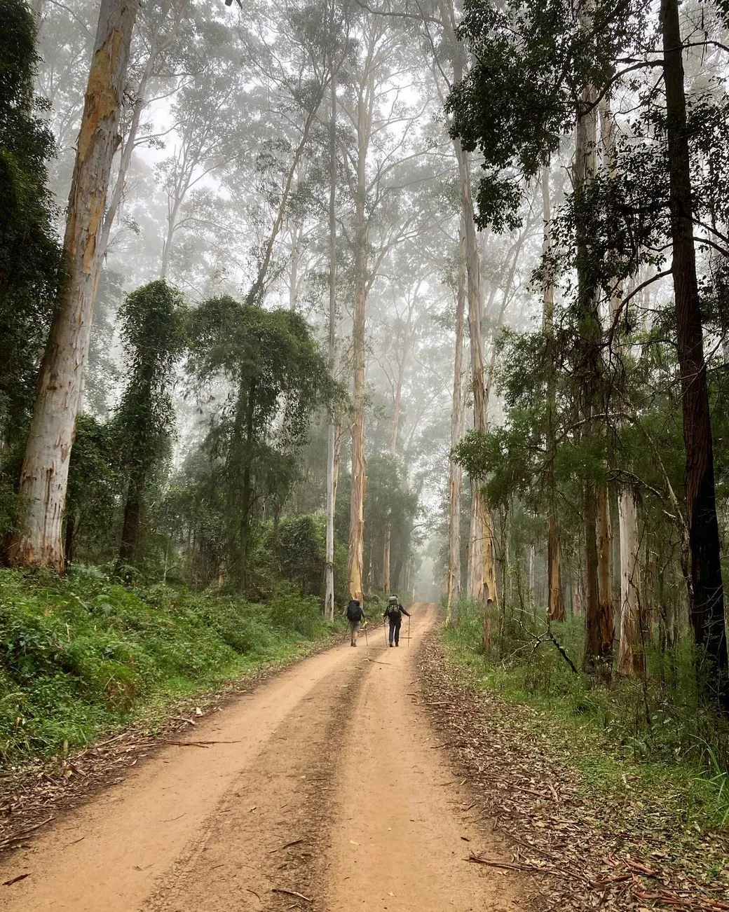
Seasons And Conditions
The Blue Mountains can be brutal.
Summer: Hot, high fire risk. Leeches love wet weather near Empress Canyon or Hipocrene Falls.
Autumn: Crisp mornings, good walking weather.
Winter: Cold, icy on ridges. Great for views to Malaita Point or Castle Head.
Spring: Wildflowers blooming, waterfalls flowing.
Bushfires and flooding can close tracks quickly. Always check NPWS alerts or apps like All Trails before you go.
Wildlife And Plant Life
The valley is full of Australian wildlife:
Birds: Superb lyrebirds, cockatoos, gang-gangs.
Mammals: Swamp wallabies, possums, gliders.
Reptiles: Goannas basking on the track edges.
Flora: Eucalyptus-dominated dry ridges to temperate rainforest in gullies near Kedumba Farm.
The Bush Trackers program runs walks for kids to learn about the bush and its critters, so family trips are educational as well as fun.
Local Hacks And Tips
Water: Carry at least 2L per person. No taps down in the valley.
Leech-proofing: Aerogard or salt for post-Empress Canyon wrigglers.
Facilities: Toilets and picnic spots at Conservation Hut, Blue Mountains NP carparks and key lookouts. None down in the valley.
Transport: Trains to Katoomba, buses to Scenic World and Echo Point. Parking is tight on weekends.
Maps: NPWS maps or All Trails are better than just relying on your phone GPS.
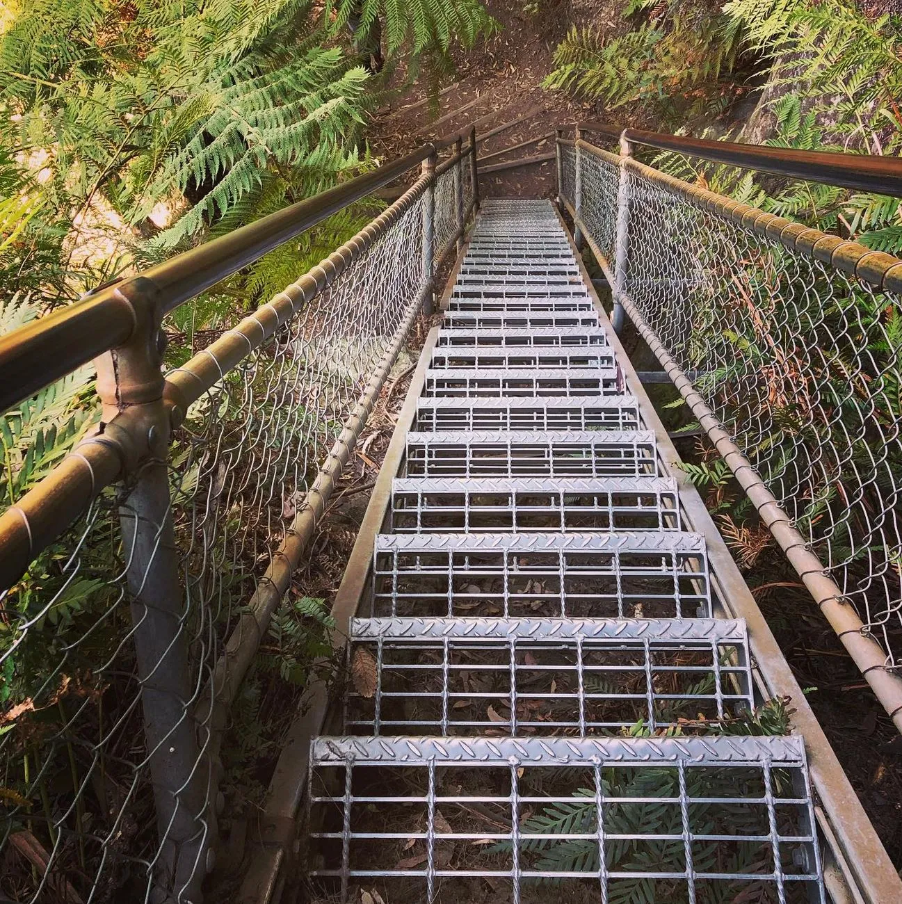
I once led a group of walkers down Slack Stairs from Echo Point to the valley floor. A storm rolled in at Federal Pass, and the cliffs turned into waterfalls all around us. By the time we hit Kedumba Valley, our boots were squelching like sponges.
At Fletcher’s Lookout, we were soaked and steaming like a herd of wallabies and spotted a lyrebird belting out its routine — camera clicks, kookaburra laughs, even the beep of a reversing truck. The group went silent, dripping wet, spellbound by a bird taking the mickey. That’s the magic of Jamison Valley: humbling, unpredictable and unforgettable.